Social Impact Mapping for Health & Care Service
Social Impact Mapping for Health & Care Service
Social Impact Mapping for Health & Care Service
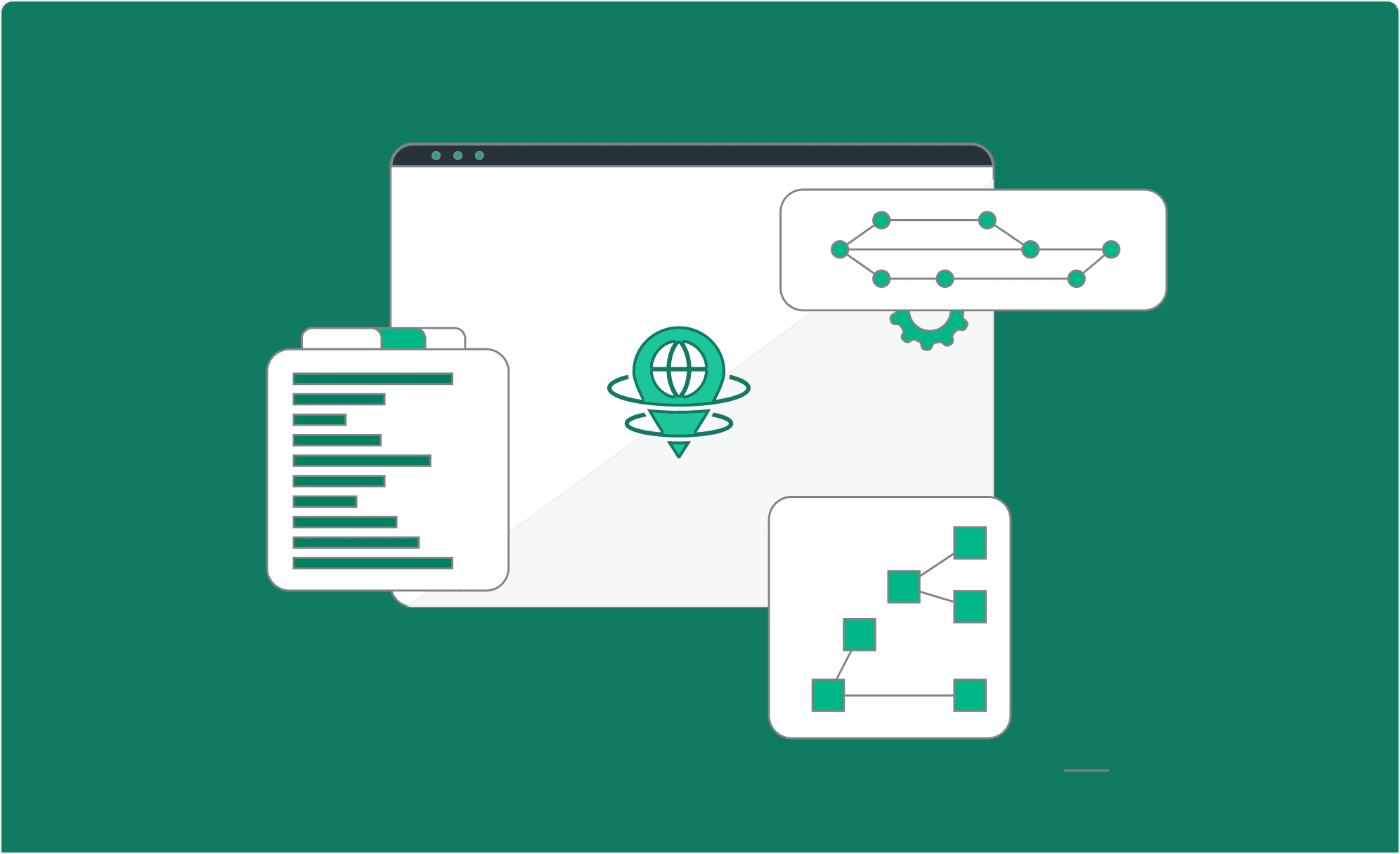
A public health organisation was tracking workforce coverage and service delivery across multiple UK local authorities. Their data lived in spreadsheets. Reporting was manual. Identifying gaps meant hours of cross-referencing before anyone could draw a conclusion. We geocoded their existing datasets, built automated data pipelines, and delivered a suite of maps, dashboards, and Experience Builder apps. Teams can now filter by area, identify underserved locations, and pull reports without raising a request.
A public health organisation was tracking workforce coverage and service delivery across multiple UK local authorities. Their data lived in spreadsheets. Reporting was manual. Identifying gaps meant hours of cross-referencing before anyone could draw a conclusion. We geocoded their existing datasets, built automated data pipelines, and delivered a suite of maps, dashboards, and Experience Builder apps. Teams can now filter by area, identify underserved locations, and pull reports without raising a request.
A public health organisation was tracking workforce coverage and service delivery across multiple UK local authorities. Their data lived in spreadsheets. Reporting was manual. Identifying gaps meant hours of cross-referencing before anyone could draw a conclusion. We geocoded their existing datasets, built automated data pipelines, and delivered a suite of maps, dashboards, and Experience Builder apps. Teams can now filter by area, identify underserved locations, and pull reports without raising a request.

Problem:
Problem:
Problem:
A public health and social care organisation was running on spreadsheets. They needed to track data geographically, reference existing datasets, and identify underserved areas across UK regions and Local Authorities. It was quite evidently clear that Spreadsheets are not going to be sustainable.
A public health and social care organisation was running on spreadsheets. They needed to track data geographically, reference existing datasets, and identify underserved areas across UK regions and Local Authorities. It was quite evidently clear that Spreadsheets are not going to be sustainable.
A public health and social care organisation was running on spreadsheets. They needed to track data geographically, reference existing datasets, and identify underserved areas across UK regions and Local Authorities. It was quite evidently clear that Spreadsheets are not going to be sustainable.
What we did:
What we did:
What we did:
We processed their existing datasets and built automated pipelines for geocoding and cross-referencing. The resulting geospatial datasets refresh periodically and feed into Maps, Dashboards and Experience Builder apps. Users get the ability to slice and dice data to download their own reports.
We processed their existing datasets and built automated pipelines for geocoding and cross-referencing. The resulting geospatial datasets refresh periodically and feed into Maps, Dashboards and Experience Builder apps. Users get the ability to slice and dice data to download their own reports.
We processed their existing datasets and built automated pipelines for geocoding and cross-referencing. The resulting geospatial datasets refresh periodically and feed into Maps, Dashboards and Experience Builder apps. Users get the ability to slice and dice data to download their own reports.
What changed:
What changed:
What changed:
It’s easier to connect data to value. The organisation can now see compliance gaps, coverage issues, workforce distribution by area, and funding across local authorities - without asking anyone to pull numbers.
It’s easier to connect data to value. The organisation can now see compliance gaps, coverage issues, workforce distribution by area, and funding across local authorities - without asking anyone to pull numbers.
It’s easier to connect data to value. The organisation can now see compliance gaps, coverage issues, workforce distribution by area, and funding across local authorities - without asking anyone to pull numbers.
Check our other Case studies
Check our other Case studies
Check our other Case studies
We work across sectors and project types. Browse the full set to see what else we have delivered.
We work across sectors and project types. Browse the full set to see what else we have delivered.
We work across sectors and project types. Browse the full set to see what else we have delivered.
Managed Services for ArcGIS
How we did it
Managed Services for ArcGIS
How we did it

End-to-End Application Development
How we did it
End-to-End Application Development
How we did it
Managed Services for ArcGIS
How we did it

End-to-End Application Developement
How we did it

Terra Helix Technologies Private Limited
टेरा हिलिक्स टेक्नॉलॉजीज प्रायवेट लिमिटेड
CIN: U71200PN2024PTC233137
Legal
Copyright 2026 Terra Helix Technologies Private Limited.
All Rights Reserved
Terra Helix Technologies Private Limited
टेरा हिलिक्स टेक्नॉलॉजीज प्रायवेट लिमिटेड
CIN: U71200PN2024PTC233137
Pages
Legal
Connect
Copyright 2026 Terra Helix Technologies Private Limited.
All Rights Reserved